______________________________
Jangmi (Bagyong Seniang) has weakened to a Tropical Depression as it struggles to maintain intensity across the Sulu Sea. The system was last located approximately 220km northwest of Zamboanga City or about 275km southeast of Puerto Princesa. Maximum sustained winds are at 55kph with gusts of up to 75kph. TD Jangmi is moving southward at 10kph.
As of 11am this morning, PAGASA has raised Public Storm Warning Signal # 1 for Palawan. All other signal warnings have now been lowered.
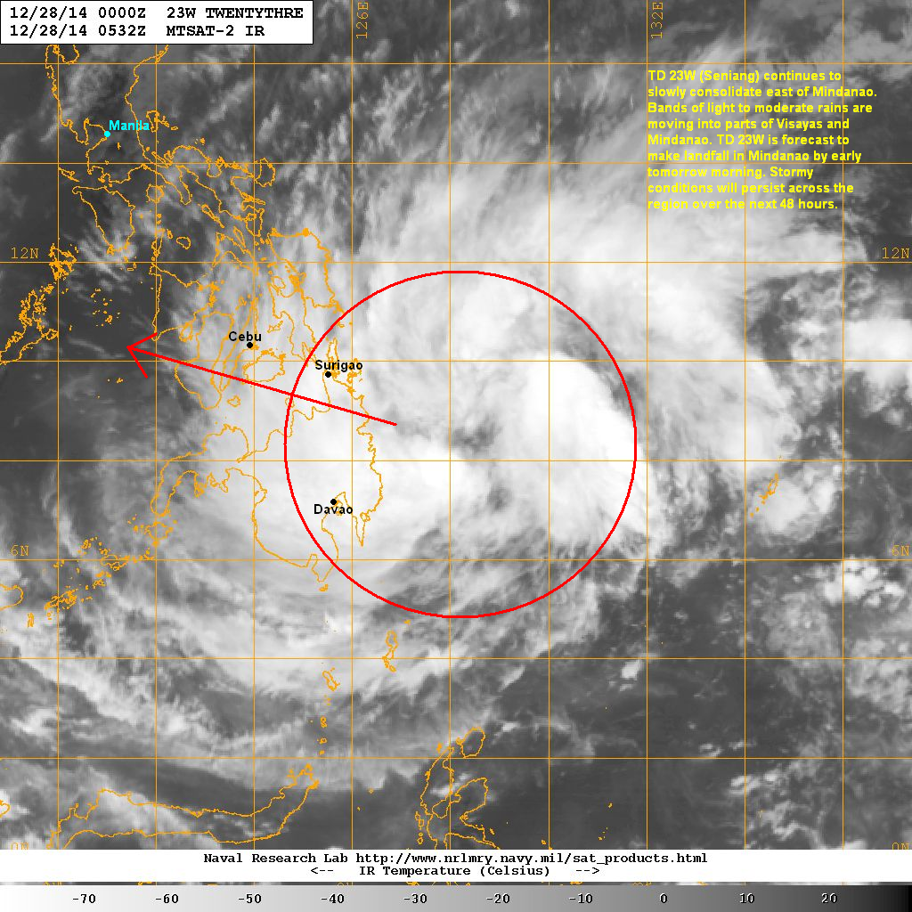
IR Image from NRLMRY

Latest satellite image shows convection is severely lacking as the circulation center is left exposed due to the strong wind shear in the region. Furthermore, Jangmi continues to display weakening trends this morning which could lead to a total dissipation in the next 24 hours.
Tropical Depression Jangmi will continue moving slowly southward across the Sulu Sea. It could totally dissipate in the next 24 to 48 hours as weather conditions are hostile for cyclone development. Residual rains will continue across parts of Visayas but should taper off in the next few days.
This is our final update for Tropical Depression Jangmi. We'll continue to watch this area for possible redevelopment. Have a wonderful and safe New Year!