____________________________
Neoguri continues to intensify and is now up to a Category 2 Typhoon. The system was last located approximately 710km north northwest of Yap Island or about 860km west northwest of Guam. Maximum sustained winds are now at 165kph with gusts of up to 205kph. Typhoon Neoguri is moving northwestward at 20kph.
IR Image from NRLMRY
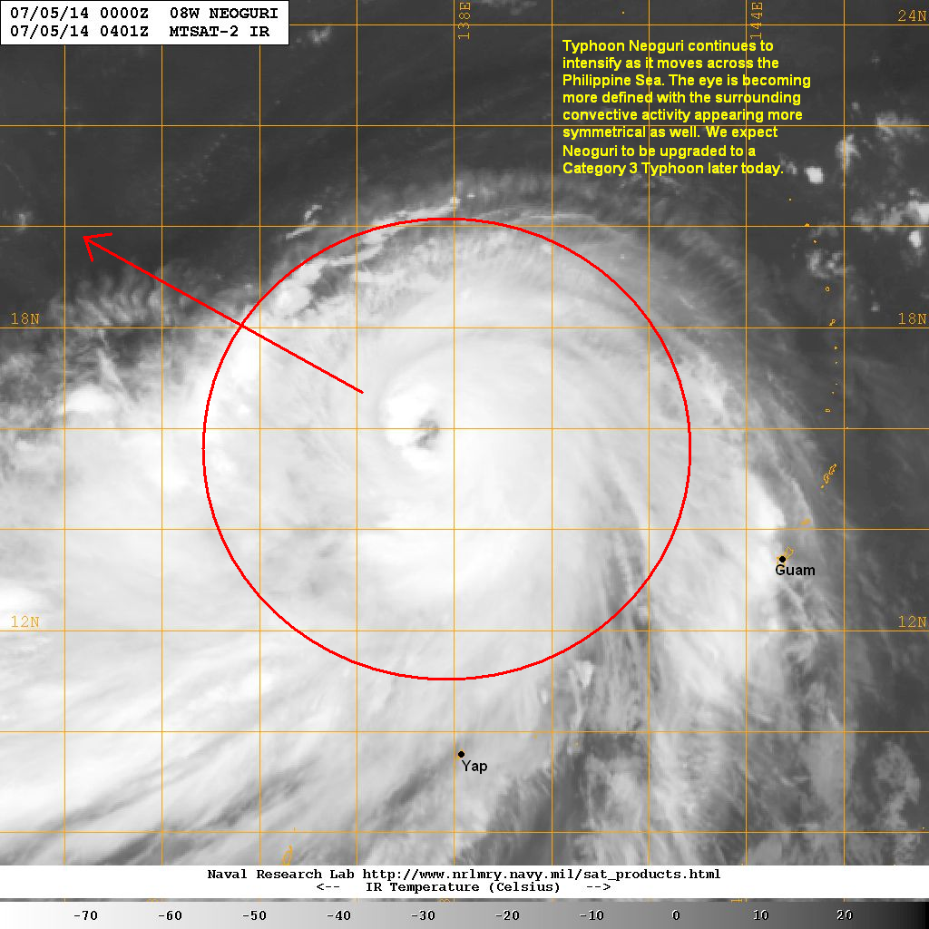
Latest satellite image shows Neoguri's eye becoming more defined. The surrounding convection also continues to expand equally around the circulation center. Radial outflow remains excellent and will continue to provide favorable environment for intensification.
Typhoon Neoguri will continue moving northwestward and should enter the Philippine Area of Responsibility later tonight (local name 'Bagyong Florita'). It should also intensify into a Category 3 Typhoon later today and could possibly attain Category 4 intensity by early tomorrow morning.
Residents living in Okinawa and the nearby Japanese Islands should start preparing for the impacts of Neoguri. Damaging winds and heavy rains are forecast to start impacting the Ryukyu Islands beginning late Monday morning, into Tuesday, and lasting into Wednesday.
We'll have another update later tonight.
No comments:
Post a Comment