IR Image from NRLMRY
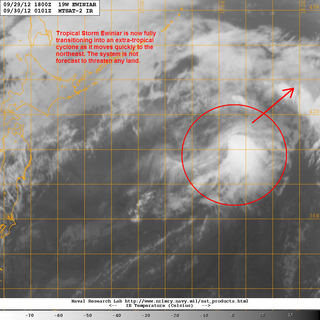
Latest satellite image still shows some convective activity. Low-level center continues to get decoupled as strong upper-level winds shear the system apart. We expect Ewiniar to complete the extra-tropical transition later today. It is not forecast to be a threat to land.
Both the Joint Typhoon Warning Center (JTWC) and the Japan Meteorological Agency (JMA) have issued their final warnings on this system. Likewise, this will be our final update on Tropical Storm Ewiniar. We'll have our update on Typhoon Jelawat (nearing the coast of Honshu) later this afternoon.
________________________________________________
Issued (0130 UTC) 930am PhT 093012
No comments:
Post a Comment