IR Image from NRLMRY
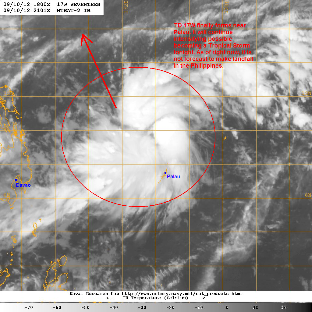
Latest satellite image shows improving convective activity with curved banding becoming more pronounced by the hour. Latest reports out of Palau indicate southwesterly winds of around 35kph with occasional gusts of up to 55kph also being reported from the island. Occasional rains from 17W may also impact Palau throughout the day today.
Tropical Depression 17W is forecast to continue intensifying and could become a Tropical Storm later tonight. As of right now, we don't think the system will make landfall in the Philippines as it will be tracking across the Philippine Sea on its way to the north. However, residents along Eastern Mindanao and Visayas must still continue monitoring the developments of TD 17W for any sudden changes in the forecasts.
We'll have another update later this afternoon.
______________________________________________
Issued (22 UTC) 6am PhT 091112
No comments:
Post a Comment