IR Image from NRLMRY
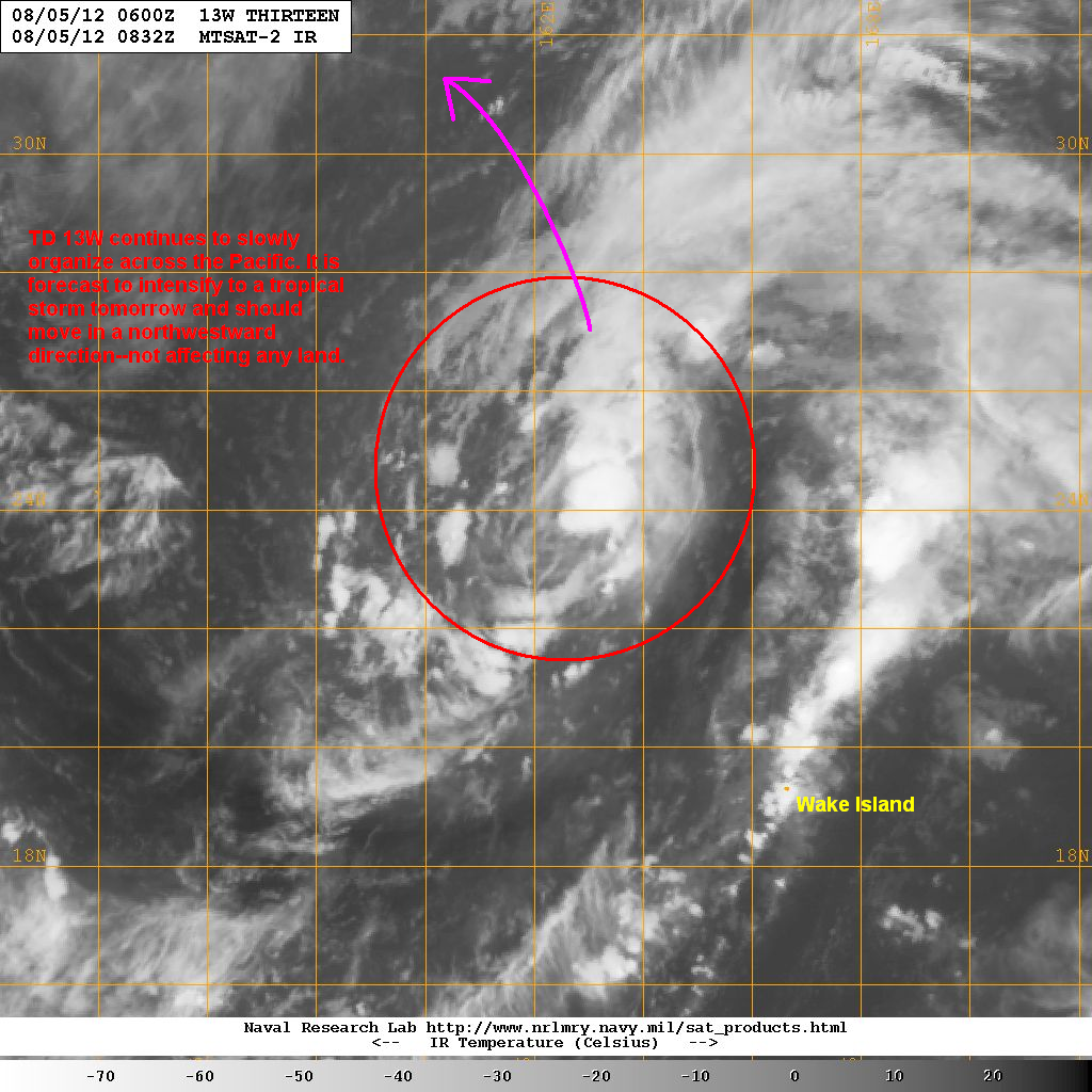
Latest satellite image shows the fragmented convective activity as well as the broad circulation of this system. Dry air and moderate wind shear are somewhat inhibiting development. 13W is located well away from any land--more than 2000km west of Japan.
Forecast Track (NOT OFFICIAL!)

Current forecasts take 13W to the north. It could become a tropical storm tomorrow (in fact JTWC is already classifying it as such). Our forecast track is siding with the latest output from the European Model. The conditions in the region will be favorable for continued development and there is a small that 13W could reach Typhoon status in the next few days. But as mentioned, the system poses no threat to land.
We'll have another update tomorrow.
_____________________________________________
Issued (0930 UTC) 530pm PhT 080512
No comments:
Post a Comment