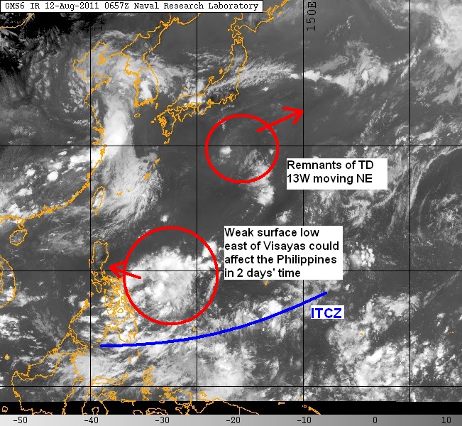
Tropical Depression 13W is now dissipating south of Japan. Both JTWC and JMA gave their final advisories for this system earlier this morning. Latest VIS image is still showing a fully exposed low-level circulation center. Convection, though, has really waned and barely exists now. This system is no longer expected to re-intensify although wind shear has relaxed in the area where 13W is (now around 10kts) and sea surface temperatures are still around 25-27C. This is the final update for Tropical Depression 13W, we'll continue to monitor this feature and will update you if it reforms again.
Latest VIS image of TD 13W from NRLMRY
Meanwhile, much of the Philippines continue to enjoy nice and dry weather. People still need to be on the lookout for possible thunderstorms that could form especially in the afternoon. Greatest chances of rain will be in Visayas and Mindanao due to the ITCZ.
Furthermore, a weak and broad surface low approximately 700km east of Visayas could approach the country in two days' time. This low is not expected to form into a tropical storm. It could, however, enhance rainshowers in Visayas and Luzon this weekend.
_______________________________________
Issued (0830 UTC) 430pm PhT 081211

No comments:
Post a Comment