IR Image from NRLMRY
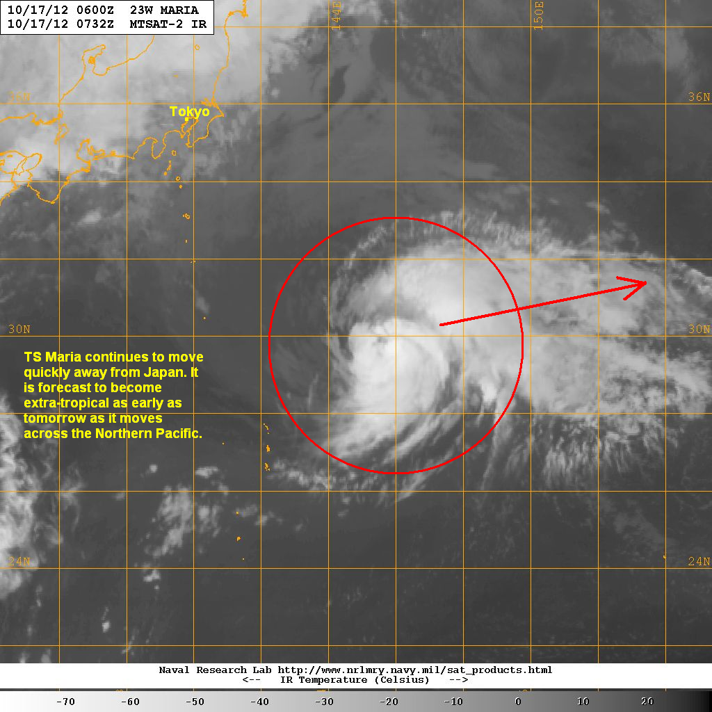
Latest satellite image shows convective activity continuing to fire off in and around the core of the system. Poleward outflow is still pretty good as well helping to sustain the current intensity despite the cooler waters in this part of the basin.
Tropical Storm Maria brought winds of up to 100kph yesterday across Iwo Jima and the Ogasawara Islands together with rainfall amounts of up to 80mm. Weather conditions in the region are now quieting down as Maria quickly moves away. The system is forecast to become extra-tropical as early as tomorrow and will no longer be a threat to land.
We'll have another update Maria tomorrow. Our complete Text and Video Update for Prapiroon will be up in about an hour.
_______________________________________________
Issued (0930 UTC) 530pm PhT 101712
No comments:
Post a Comment